http://www.outintheboonies.com/Tosohatchee/
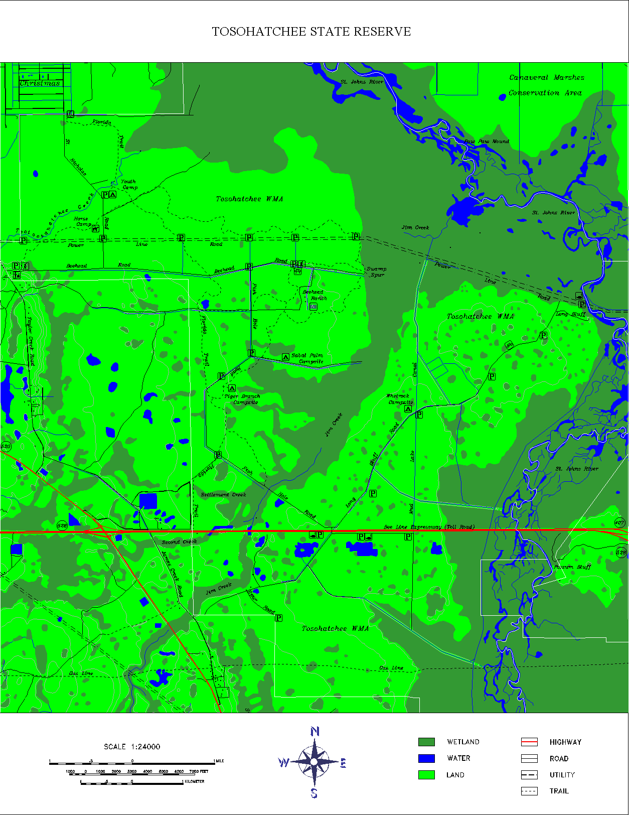
DLG stands for digital line graph...these types of map use digital vectoring to show information from US Geological Survey (USGS) maps. This is a map of the Tosohatchee Wildlife Management Area in Florida and uses DLG data.

No comments:
Post a Comment