http://en.wikipedia.org/wiki/File:Moon_worldwind.jpg
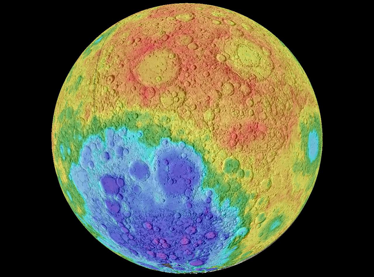
A hypsometric map uses contour lines to show variation in elevation of the terrain for a specific area. This is such a map showing elevation variations of the moon, using contour lines and shading.

No comments:
Post a Comment